


Hurricane Central
Francine Strengthens Into A Hurricane In The Western Gulf Of Mexico
By weather.com meteorologists
6 hours ago

- Francine has become a Category 1 hurricane in the Gulf of Mexico.
- It will make landfall in Louisiana Wednesday, but its impacts will affect a larger area.
- Flooding rainfall, storm surge, damaging winds and tornadoes are all threats.
- Francine is the first Atlantic storm since Ernesto about three weeks ago.
Hurricane Francine is expected to intensify further ahead of a Louisiana landfall Wednesday. Storm surge, flooding rainfall, damaging winds and tornadoes will impact Louisiana and other parts of the Gulf Coast and South.
Here’s the latest status of this system: Francine is centered over 200 miles southwest of Morgan City, Louisiana, and is moving northeast. Maximum sustained winds were 85 mph as of 10:20 p.m. CDT, making Francine a hurricane.
Bands of rain are beginning to wrap into parts of the northern Gulf Coast. Some flooding issues at known trouble spots were reported earlier Tuesday in Cameron County, Texas, according to the National Weather Service, where some locations picked up 7 to 8 inches of rain, before Francine moved away from the Rio Grande Valley.
Some minor coastal flooding was reported again overnight Monday night into Tuesday morning along parts of the South Texas coast.
(MAP TRACKER: Spaghetti Models And More)

Where watches and warnings are in effect: A hurricane warning is in effect along the Louisiana coast from Cameron to Grand Isle. Areas from Sabine Pass to the Mississippi-Alabama border are in a storm surge warning.
These warnings are typically issued when hurricane conditions (74+ mph winds) and life threatening storm surge are expected.
A hurricane watch is in effect for the New Orleans metro area, including Lakes Pontchartrain and Maurepas. This means hurricane conditions are possible, in this case, within about 24 hours.
Tropical storm warnings also cover much of the rest of the northern Gulf Coast from the southwest Louisiana coast to the Alabama-Florida border. The New Orleans metro area is included in a tropical storm warning, meaning sustained winds of at least 39 to 73 mph are expected there.
The map below shows where hurricane and tropical storm watches and/or warnings are currently in effect.
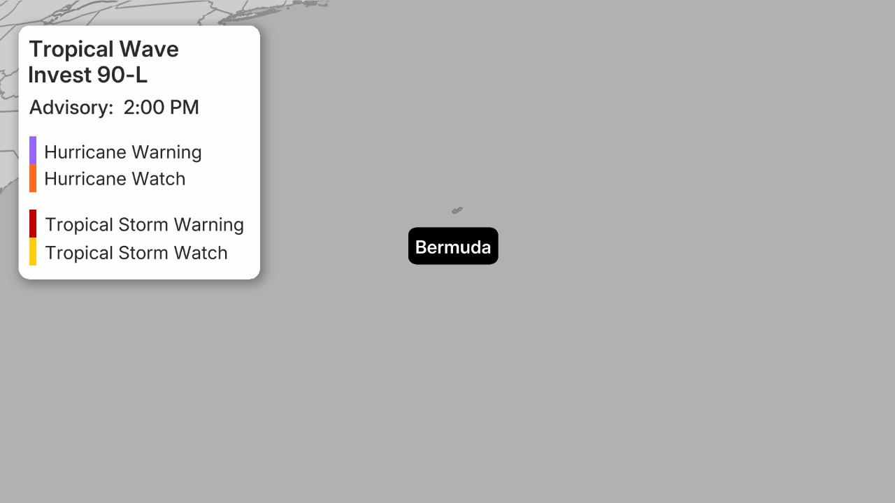
(A watch is issued when tropical storm or hurricane conditions are possible within 48 hours. A warning is issued when those conditions are expected within 36 hours.)
Forecast track and intensity: Francine is forecast to gain some strength before it makes landfall as a hurricane somewhere along the Louisiana coast later Wednesday, with impacts arriving well in advance.
Right now, the National Hurricane Center forecasts Francine to be at Category 1 wind intensity at landfall, but could be near Category 2 status. Once Francine reaches the Gulf Coast, it will also face increasing wind shear that may cap off its intensity near landfall.
After landfall, the system will spread rainfall through parts of the South to as far north as the mid-Mississippi and Ohio valleys late this week.
(MORE: What The Forecast Cone Means)

(The red-shaded area denotes the potential path of the center of the tropical cyclone. It’s important to note that impacts (particularly heavy rain, high surf, coastal flooding, winds) with any tropical cyclone usually spread beyond its forecast path.)
Potential Impacts
Flooding Rainfall
Bands of heavy rain will lash parts of the coast from Louisiana and Mississippi to southern Alabama and the Florida Panhandle through Friday morning.
Rainfall totals from Francine could reach 4 to 8 inches, with local amounts to 12 inches. New Orleans and Baton Rouge, Louisiana; Biloxi and Jackson, Mississippi; and Mobile, Alabama, are among the cities where flood watches have been issued for this heavy rain threat.
(Issued by the National Weather Service.)
Heavy rain from this system will spread across other parts the South to as far north as the mid-Mississippi and Tennessee valleys through Friday and Saturday. At least localized flooding is possible in these areas.
There could be a sharp difference in rainfall, however, to the west and northwest of Francine’s path as drier air is drawn in. Areas not too far inland from the Texas coast may see little or no rainfall.
(Further beef up your forecast with our detailed, hour-by-hour breakdown for the next 8 days – only available on our Premium Pro experience.)

Storm Surge
Life-threatening storm surge will inundate low-lying areas along the upper Texas, Louisiana, Mississippi and Alabama coasts.
According to the National Hurricane Center, peak inundation of may reach 5 to 10 feet in parts of southern Louisiana, including Vermilion Bay, if the storm surge arrives at the time of high tide. Flooding is also expected along the shores of Lakes Pontchartrain and Maurepas.
This peak push of water is expected to arrive within a few hours either side of landfall later Wednesday. However, some parts of the Gulf Coast as far east as Mobile Bay may see at least some coastal flooding linger into Thursday morning.
Follow the advice of local officials if ordered to evacuate.

Damaging winds
Hurricane conditions are expected to arrive within areas under hurricane warnings in southern Louisiana by Wednesday afternoon.

These winds will be capable of downing trees and knocking out power. Prepare now for power outages that could last for several days after the storm is over in this area, including Baton Rouge, Louisiana, and possibly the New Orleans metro.
Some tropical storm force winds are possible in other parts of southern and central Louisiana, southern Mississippi, southern Alabama and western Florida. Some power outages and tree damage is possible in these areas, including Biloxi, Mississippi, and Mobile, Alabama.

Possible Tornadoes
Landfalling tropical cyclones often produce at least a few tornadoes near and inland from where they cross the coast. An isolated tornado threat from this system could develop by Wednesday or Wednesday night in southern Louisiana, southern Mississippi, southern Alabama and the Florida Panhandle.
The isolated tornado threat may persist Thursday in eastern Mississippi, Alabama and the Florida Panhandle.

What’s Next After The Gulf Coast? Francine will likely get stuck across the mid-Mississippi Valley as part of a “Rex Block.”
This is one form of atmospheric clogging that occurs when a high pressure system and low pressure system (in this case, Francine) get too close.
Francine is expected to get caught over the Mid-Mississippi River Valley by Friday while a high pressure system sits over the Great Lakes.
By then, Francine will be considerably weaker, but will be sitting without a steering mechanism of its own. This means the showery weather that has plagued the Southeast for some time will return through the weekend.
Models are still trying to figure out this situation, but are beginning to hint that whatever is left of Francine will drift eastward this weekend as it loses steam in the southern Apalachians.
First In Awhile
Francine was the first Atlantic storm since Ernesto moved into the North Atlantic Ocean on August 20.
It’s been 30 years since the last time the Atlantic Basin went through the first full week of September without any active tropical cyclones, according to WPLG-TV hurricane expert Michael Lowry.
And Colorado State University tropical scientist Phil Klotzbach noted the last time the Atlantic Basin went from Aug. 13 though Sept. 8 without any storms forming was in 1968.


